This storm spills over into Saturday, Sunday the dry and sunny half of the weekend…continued active next week
ALBUQUERQUE, N.M. —
We are watching the next storm system approach this morning with clouds moving in from the west, but there is not any rain to track just yet. Early morning temperatures are back down in the 30s and 40s, so it is chilly enough to need bring a coat or jacket on as you head out the door but it’s not quite as cold as yesterday morning in most spots. Later this afternoon we will see highs climb back into the 50s and 60s – a little lower than the days previous but still above average for mid-November. There is going to be a chance of scattered showers developing later today, but for most of us it doesn’t kick in until this evening and areas south and west of Albuquerque will be most favored.
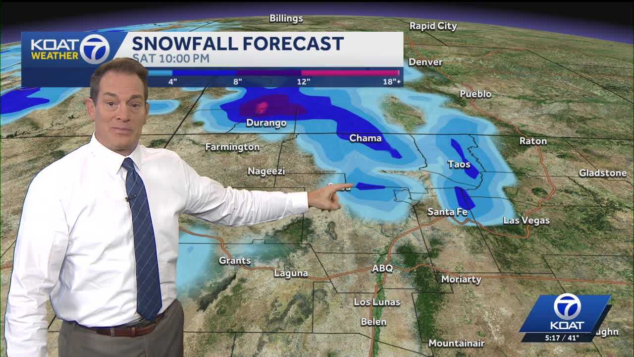
Saturday we still expect rain and mountain snow to be around, but mainly just for the northern half of the state and especially for areas to the north of Albuquerque. This storm doesn’t look like it will clear until late Saturday night, and in it’s wake we could see several inches of snow on the mountains in Northern New Mexico, and even more than that on the mountains in far Southern Colorado. Sunday will be the dry and quieter half of the weekend, but temperatures will be running cooler with highs only in the 50s for most.
Looking ahead into next week, skies will stay active. Monday should be dry, but another storm with a chance of rain and mountain snow will move through Tuesday afternoon and Wednesday morning. Western and Northern New Mexico and the 4-Corners area look to be the most favored spots for precipitation with this weather system right now. Then we’ll catch another brief break in the action on Thursday before another more powerful and colder storm system tries to develop and take aim at the region next weekend. Considerable uncertainty at this time with the track of this storm being it is still over a week away, but where it does hit some more significant snow will be possible! Looking ahead into next week, skies will stay active. Monday should be dry, but another storm with a chance of rain and mountain snow will move through Tuesday afternoon and Wednesday morning. Western and Northern New Mexico and the 4-Corners area look to be the most favored spots for precipitation with this weather system right now. Then we’ll catch another brief break in the action on Thursday before another more powerful and colder storm system tries to develop and take aim at the region next weekend. Considerable uncertainty at this time with the track of this storm being it is still over a week away, but where it does hit some more significant snow will be possible!

